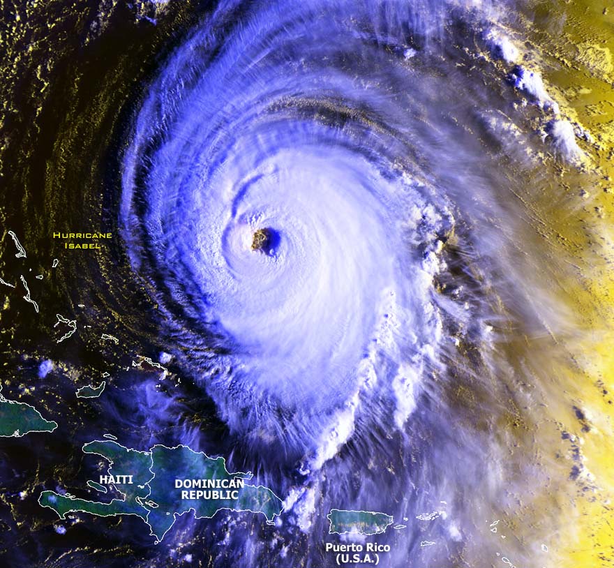
Stunning satellite image of Hurricane Isabel at its peak
intensity at 1124z on
September 15 2003.
Satellite image from
NOAA

Stunning satellite image of Hurricane Isabel at its peak
intensity at 1124z on
September 15 2003.
Satellite image from
NOAA
Click on any image above to see the full sized image.
Radar and satellite image of Hurricane Isabel making landfall on North Carolina
Tracking maps and satellite images from the
The National Hurricane Center
and
The Naval Atlantic Meteorology
Center of Hurricane Isabel tracking towards the United States
Warning
29
Warning
36
Warning
45
Text under construction.......
Geoff Mackley
24 September 2003.
Back
to Geoff's weather links
Back
to site directory