
Cat 5 Cyclone
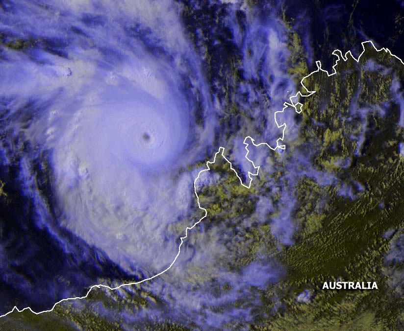
Glenda off the coast of
Western Australia at 0633z on 28 March 2006.
Satellite image from
NOAA
Click on any image above to see the full sized image
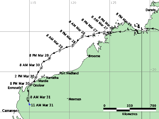
Tracking map and satellite image of Cyclone Glenda


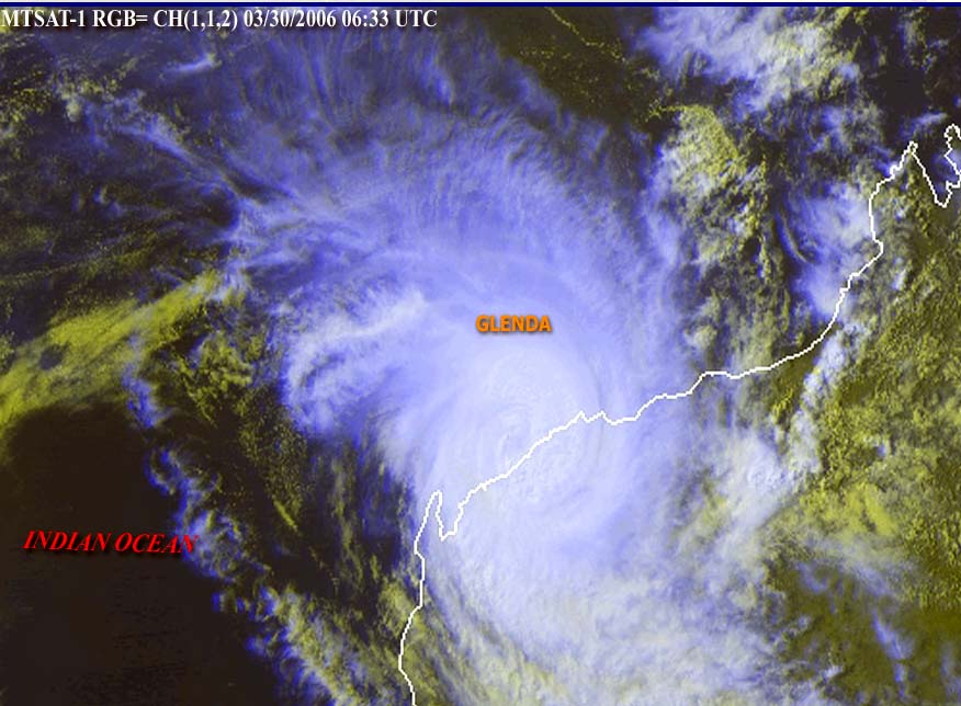
Cyclone Glenda making
landfall
Satellite image from
NOAA
Cyclone Glenda came ashore south of Dampier on Thursday 30 March 2006, it appeared that the eye
of Glenda passed over the highway near the Fortescue Roadhouse. Flash floods made it difficult to intercept
the centre of the cyclone as the road was cut by severe flooding in more than 100 places.
Winds of 200k + made visibility almost non existant.. updates by sat phone.
Click here for
information on the cyclone truck